Creating a rich, highly accurate national fabric of broadband coverage with over 300 property attributes & spatial data layers….
Learn moreLightBox CanMap®
Canada’s Most Complete and Accurate Location Intelligence Data
Top financial, insurance, telco companies, and government agencies leverage LightBox’s Canadian data solutions to gain a competitive edge, mitigate risk and improve operational efficiency.
Request A Demo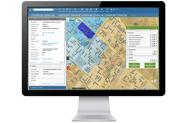
CanMap® Content Suite
The attribute-rich CanMap® Content Suite features more than 300 mapping layers and compiles nationwide GIS data from CanMap Streetfiles, Postal Code SuiteOM, and Address Points. Content Suite is enhanced with natural feature data, emergency services locations, political and census boundaries, and more.
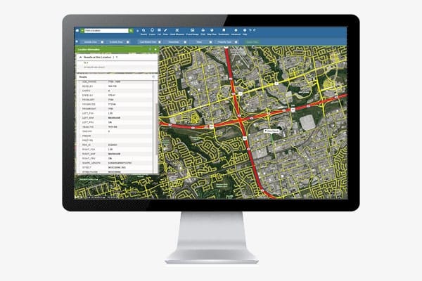
Canadian Geocoding and Web Services
LightBox Geocoding builds on 20 years of expertise delivering bulk and transactional geocoding solutions. Our solutions efficiently and effectively parse, match, score and locate your address data regardless of the complexity of the addresses – French-speaking Quebec, rural areas, complex urban addressing and more.
Ask us about our spatial web services where our data can power your on-demand usage that meets your business and technical needs. Our web services include location lookups, data enrichment and risk management services.
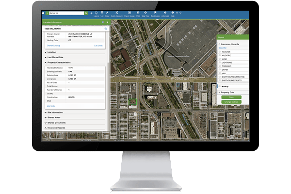
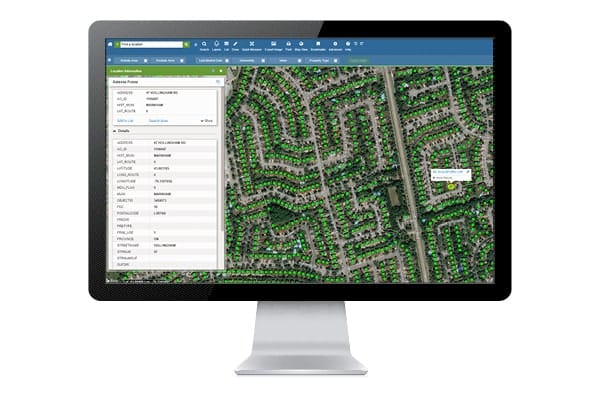
CanMap® Address Points
Make informed business decisions when you integrate CanMap® Address Points into your location solutions. CanMap Address Points is the definitive location-enabled Canadian address database. The database contains Canadian street addresses, units, usage and other critical location-based information, combined with high accuracy locations including over half of all locations geolocated to rooftop accuracy.
CanMap® StreetFiles
CanMap® StreetFiles is the ideal product for viewing the comprehensive nationwide street network and understanding the naming, address and transportation attribution for each section of road. StreetFiles are used for location analysis, infrastructure management, navigation, territory management and more.
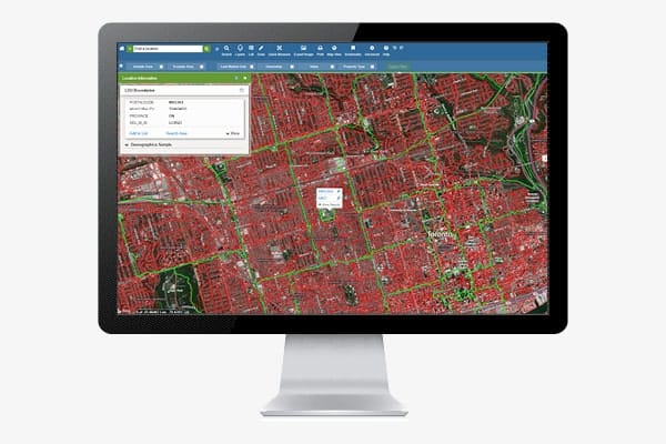
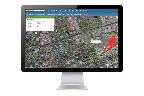
CanMap® Postal CodeOM Suite
CanMap® Postal CodeOM Suite is used for accurate customer profiling, direct marketing optimization, precise territory management, and serviceability insights.
CanMap® Postal CodeOM Suite includes Urban and Rural six-digit (FSA LDU) boundaries, full Point of Call (POC) information with Delivery Mode types (e.g., letter carrier routes), and Forward Sortation Areas (FSAs) with unmatched precision down to the neighborhood level.
Postal Code is an official mark of Canada Post Corporation.
SmartParcels Canada
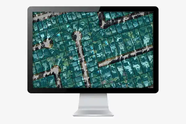
SmartParcels Canada is a parcel database contains over 13.3 million property boundaries, representing over 98% of properties in Canada and covering more than 94% of the population.
Data solutions
Let LightBox help you create data solutions that bring in additional data to help you solve your toughest business challenges. We can integrate
- Risk data including flood and property risk scoring
- Demographic data providing insight on people and any demographic characteristic – age, wealth, income, educational attainment and more
- Business insight for the 1 million businesses nationwide – identify every business and its location, classification, size, ownership and more
- Building permit data to identify construction activity
Recommended Insights
Data
Reshaping Urban Landscapes Through Upzoning
Across many cities in the U.S., urban planners and policymakers are working to address the congested traffic and the shortage…
Brokers
How CRE Brokers Leverage LandVision for Targeted Site Selection
Real-time data gives brokers a competitive edge in today’s uncertain commercial real estate (CRE) environment. As we reported with builder…
Data

Geolocation Data – Crucial for Telecommunication Providers’ Expansion and Security
Telecommunication providers will heavily depend on geolocation data to expand their networks, reach underserved areas and combat cyberattacks. This insight…
Have questions? Want a demo? Let’s chat.
Fill out the form below and a member of our Sales Team will contact you shortly.